In a bizarre confluence of weather events, much of Australia's east coast is being told to brace for dangerous thunderstorms at the same time as Sydney faces an extreme fire threat.

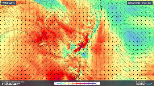
Elevated parts of Victoria will likely face the brunt of the wild winds from late today, while southern NSW and the ACT will see winds whip up on Thursday.
Some exposed areas in Tasmania may also see gusts above 90 kilometres an hour on Thursday or Friday.
The wild winds will be accompanied by rain, with Victoria and inland NSW likely to see the most severe storm cells.
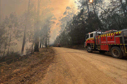
At the same time, Sydney and parts of regional NSW have been issued with a warning for an extreme fire risk tomorrow.

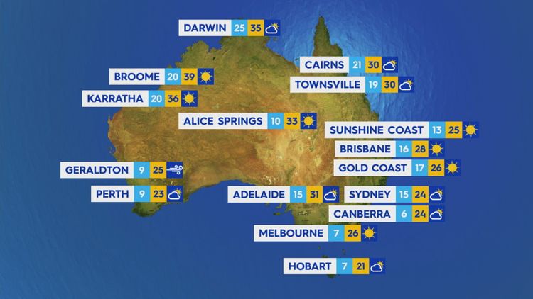
The thermostat is expect to climb as high as 35 degrees in Penrith, while Sydney's CBD will see temperatures reach 32 degrees.
The whole of Greater Sydney as been issued with an "extreme" fire rating, along with the regions of the Greater Hunter, North Western and Upper Central West Plains.
A total fire ban has been issued across these regions as well as the Northern Slopes.
While rain and bushfires are generally seen as opposing natural forces, in this case the wild winds associated with the cold front are contributing to the fire risk, with rain not expected until late into the day.


